Cotton Centennial Map of New Orleans
This file appears in: Archaeological Excavations at Spanish Fort
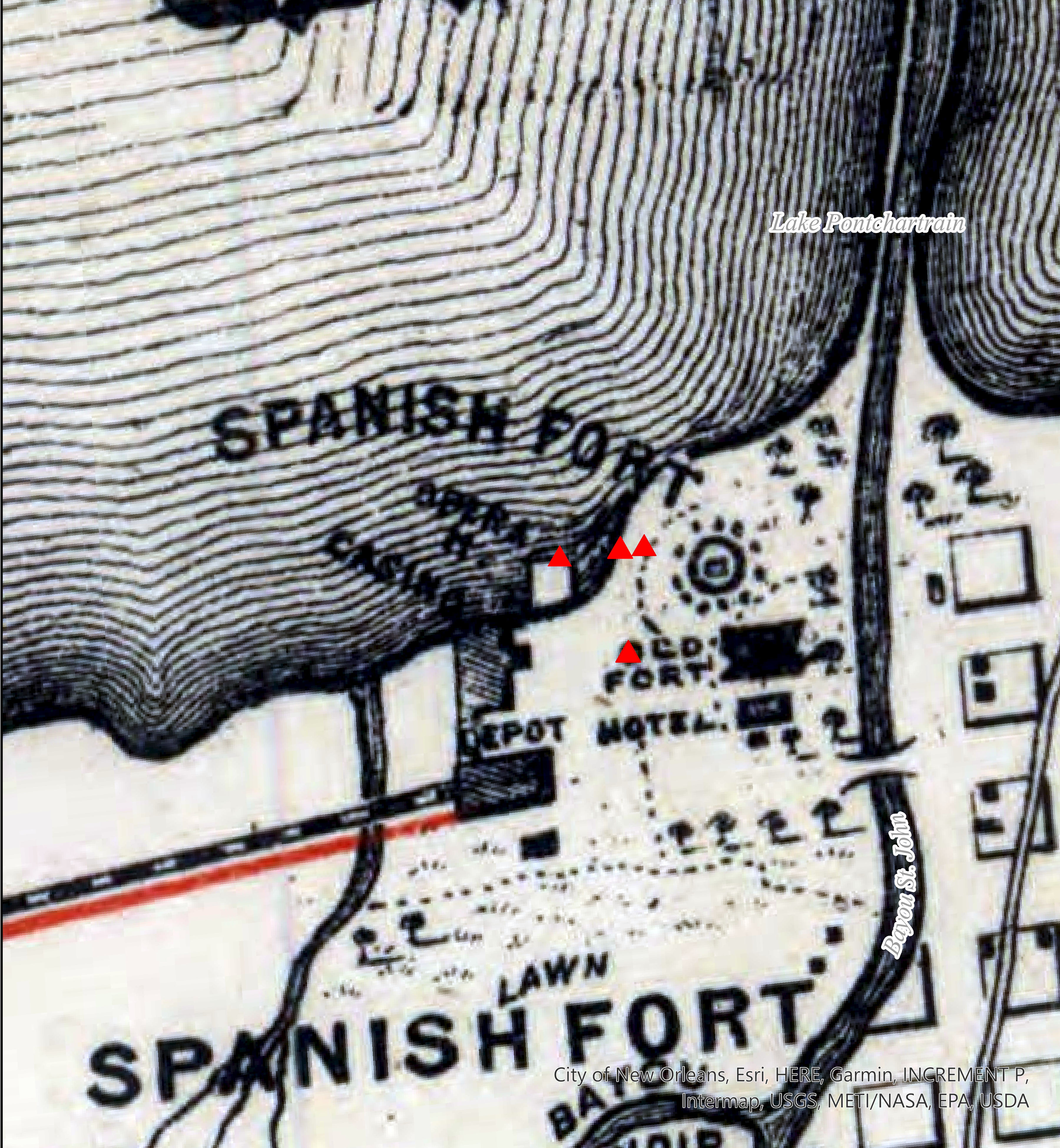
Detail of the Cotton Centennial Map of New Orleans (1884) with red markers indicating areas of archaeological excavations.
This file appears in: Archaeological Excavations at Spanish Fort
Archaeological Excavations at Spanish Fort
At the junction of Lake Pontchartrain and Bayou St. John, swells of land, ruins of brick, and clusters of live oak trees mark the spot that today is called “Fort St. John.” Otherwise known as “Spanish…