Excerpt of Plat Map T 12 S R 11 E by E. Tobin (n.d.)
This file appears in: Charity Hospital Cemetery No. 2
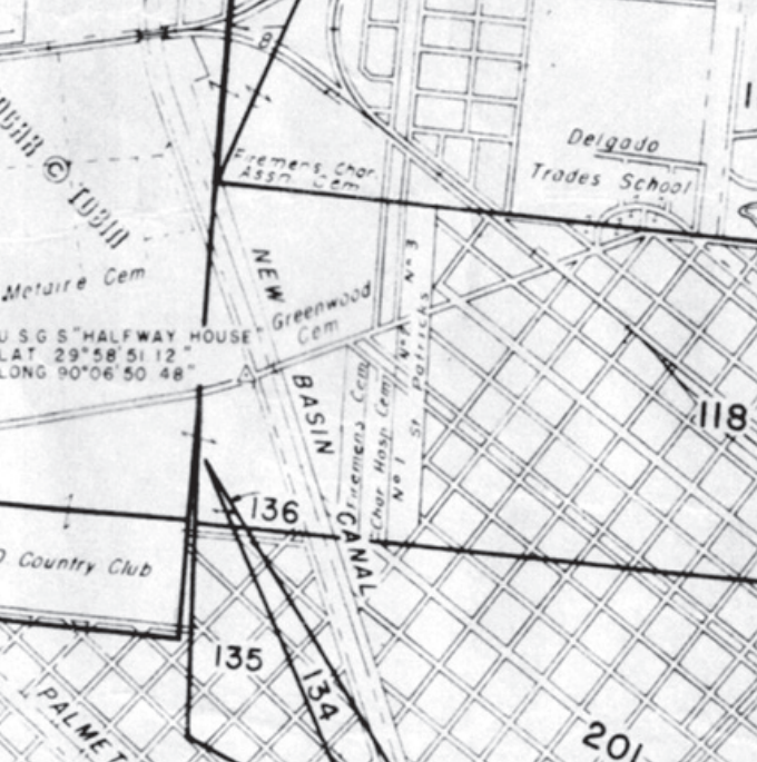
The land that bound Charity Hospital Cemetery No. was sold to the New Orleans Land Co. in 1909, eventually to build Canal Boulevard, completed by 1937.
This file appears in: Charity Hospital Cemetery No. 2
Charity Hospital Cemetery No. 2
By some estimates, nearly 50,000 burials lie beneath Canal Boulevard, originally Charity Hospital Cemetery No. 2. Almost forgotten since Canal Boulevard's addition to the city's roadways in 1937, road…