Map Showing Little Home.
This file appears in: Development on Bayou Road: McDonogh (Bricolage Academy) Senior High School
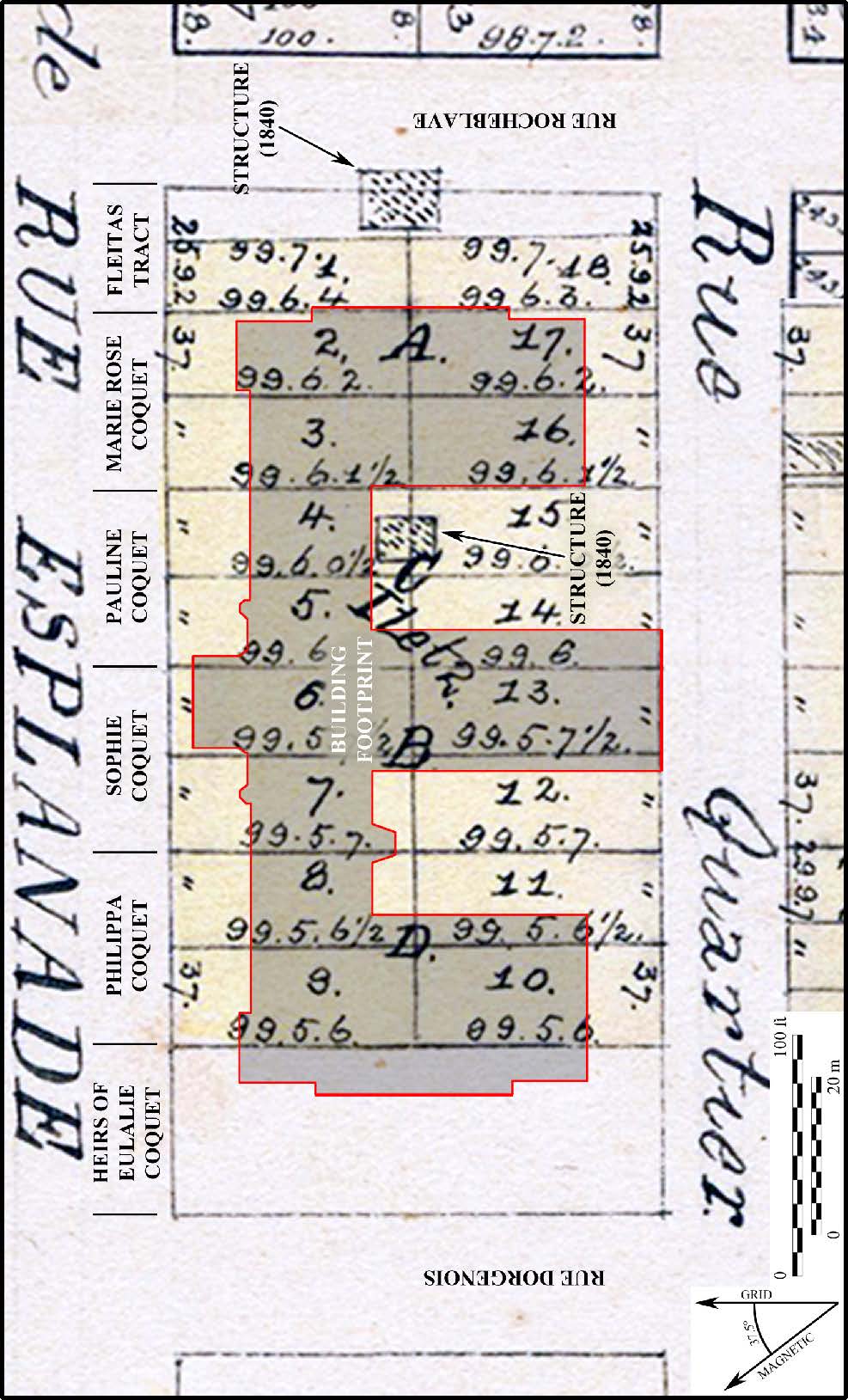
Land ownership map from 1836-40 (Courtesy of The Historic New Orleans Collection, Acc. No. 1966.33.10 and Acc. No. 1966.34.36) showing two structures on the block at that time. One extends into the newly built Rocheblave Street. The current school building has been drawn in for reference.
This file appears in: Development on Bayou Road: McDonogh (Bricolage Academy) Senior High School
Development on Bayou Road: McDonogh (Bricolage Academy) Senior High School
John McDonogh Senior High School (now Bricolage Academy) suffered damages from Hurricane Katrina. The Federal Emergency Management Agency (FEMA) that funded the repairs also funded archaeological…