New Orleans 1849 Map Sauve Crevasse

This file appears in: Audubon Park’s Enslavement History
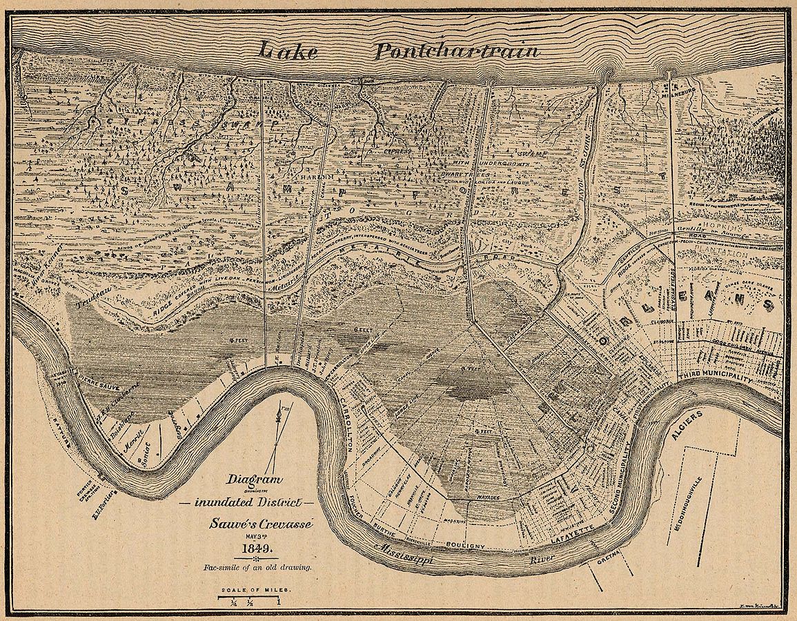
Map of New Orleans and Jefferson Parish Eastbank, showing flooding from Sauve Crevasse (breach of the Mississippi River levee) in May of 1849. Includes the Foucher Plantation track of land.
This file appears in: Audubon Park’s Enslavement History
Audubon Park’s Enslavement History
Today, Audubon Park is a space dedicated to leisure in New Orleans. Every day, hundreds of New Orleans tourists and locals enjoy the public jogging path, lagoons, picnic shelters, golf course,…