Map of New Orleans and vicinity
This file appears in: Congo Square/Armstrong Park
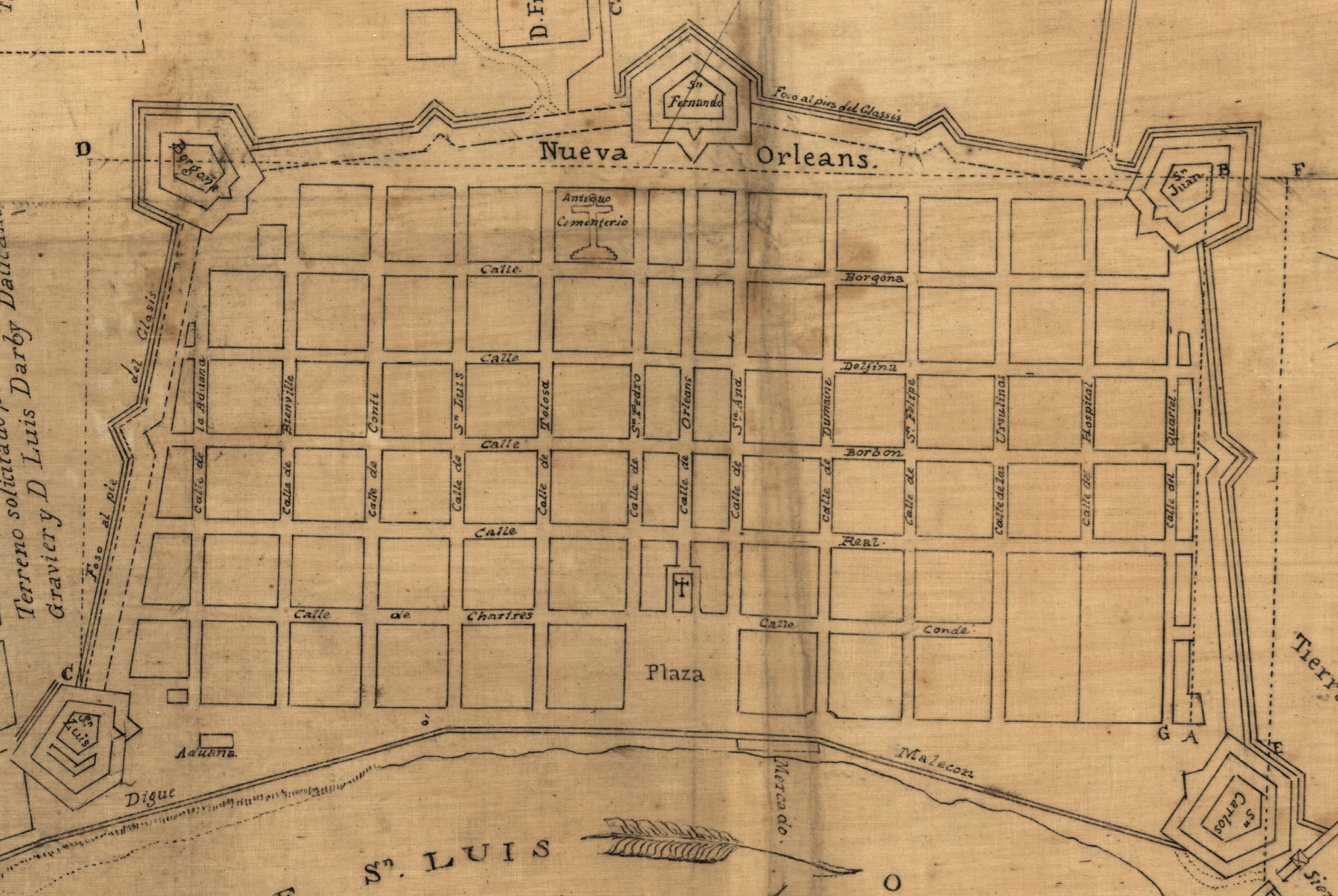
This 1804 map shows the boundaries of New Orleans and five fortifications surrounding the city. Fort San Fernando was located at current-day Congo Square. The pentagon shape at the center-top of the map represents the fort.
According the the Library of Congress, "[t]his map is an 1873 copy of the original 1804 map copied by Pintado (in Havana in 1819) and verified by Pilié, the New Orleans Surveyor in 1838. The map reflects information compiled by Pintado in 1795-96 and set down by Trudeau in official records in 1804."
This file appears in: Congo Square/Armstrong Park
Congo Square/Armstrong Park
During 1977 and 1978, the University of New Orleans conducted an archaeological project within what is now Armstrong Park. It focused on two areas, the Jazz Complex, a small area around what had been…